Science underpins all the work done by the Department of Energy, Environment and Climate Action.
So, it is appropriate that during National Science Week we celebrate the many scientists who contribute to the work done across the department, especially in the fire and land management space.
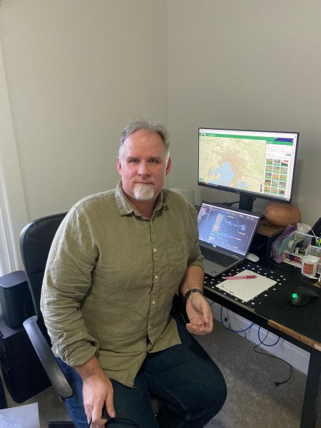
One such scientist is Anders Siggins the Senior Geospatial Analyst with the Data Analytics and Information Solutions – Portfolio and Capability Services team.
Anders is currently working on prototyping a values checking system for land management operations across the state of Victoria.
‘In an operational context, a value is anything important on the landscape that might be impacted by land management activities,’ Anders said.
'For example, biodiversity is a value – how can we protect endangered species while also managing the risk of future severe fires?'
'This project needs data analysis, programming, understanding of operational requirements and limitations, and strong communication skills.’
Anders holds 2 degrees: a Bachelor of Science (majoring in Maths and Computer Science) and a Bachelor of Engineering (Mechanical Engineering)
He said his interest in studying science all started because he wanted to understand how the world around us works.
'From a very early age I wanted to know a little bit about everything, and going into science was the obvious way to do so, Anders said.
Studying science is ultimately studying the art of problem-solving.
My science degree gave me more than just an understanding of how to apply existing tools to a job, but also the confidence to build new tools to solve problems where no tools existed before.'
Anders likes the challenge of producing solutions to difficult problems his job provides.
'I like interacting with people who are creative and driven and looking to provide solutions and services to the benefit of society,’ he said.
When there is an emergency such as a major bushfire or flood, Anders can be called upon to work in the State Control Centre, where his role is a mapping officer.
Once again applying his scientific skills, Anders creates maps to help the public understand the state of the emergency. He also produces maps that provide operational ground crews with the most current information, enabling them to effectively manage the emergency.
Anders encourages anyone who is interested in studying STEM subjects at either school or university to do it!
'The more you understand about the world, the better off you are to be able to change it for the better!’
Find out more
Go to the National Science Week website to find out more about what's on and how you can get involved
Learn more about senior forest ecology project officer Michael Ryan
Page last updated: 08/08/24